
Branford ZIP 06405 and Place Labels
The official sources reviewed identify one Branford ZIP row, 06405, with several local place names attached to Branford delivery or community context. The USPS material lists Branford at 35 Park Place, Short Beach at 5 Court Street, and Stony Creek at 202 Thimble Island Road. Those Branford lines are useful postal clues. They do not establish separate municipalities, a parcel boundary, or a complete list of every address in town.
The Branford table keeps the source categories apart. A ZIP is a delivery route. A place label may reflect a post office line, village identity, historic district, or local use. For a specific person or parcel, run the exact Branford street through USPS and retain the returned result with the retrieval date. No additional Branford ZIP, unique-institution ZIP, or official split was verified in the research sources.
| ZIP | Areas or labels documented | Post office clue | Research note |
|---|---|---|---|
| Branford 06405 | Branford, Short Beach, Stony Creek, shoreline and village labels | Branford USPS place and delivery lines | Record-specific lookup is still needed |
The Branford table is a coverage statement about the reviewed sources, not a promise that every mailing exception has been found. USPS remains the record-specific authority for a Branford street and number.
The Branford USPS ZIP Code Lookup is the source to use when a current address needs a delivery check. Its result belongs beside the original source line, not in place of it.
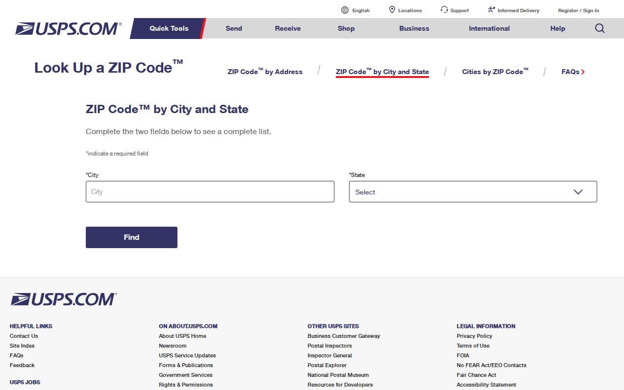
The Branford postal lookup confirms a specific address response. It does not create a townwide resident list or a legal boundary map.
Branford ZIP Geography and Place Labels
Branford has a legal town boundary, while Branford ZIP routing follows postal operations. A street may carry a village label in a directory or civic source and still belong to Branford for municipal records. The historic-district material names Branford Center, Branford Point, Canoe Brook, Stony Creek and the Thimble Islands, Route 146, and Short Beach as places of local significance. A district name gives Branford context for a record. It does not certify a mailing route or an owner’s connection to the place.
The town street list is a spelling and range aid. It can help turn an old or shortened street line into a clean search string, but it is not a postal boundary map. GIS adds parcel and place layers, yet the town warns that map information may be incomplete, out of date, or not legally official. These limits matter when a postal directory is used to join a name to a parcel. Preserve the original city, place label, and ZIP before adding a normalized Branford field.
For visual context, the Branford historic-district page shows why a local label can carry history without changing the municipal custodian. The image below keeps that distinction visible.
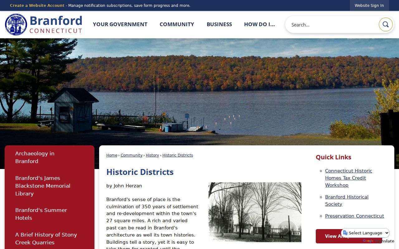
Branford historic districts help explain how a mailing line may be read by a local researcher. USPS, the assessor, or the recorded deed must answer the postal or legal question.
Find Branford Residents Within a ZIP
A Branford postal-area search works best as a staged check. Start with the address or name already in hand, then use the system whose fields match the question. Vision displays a mailing ZIP on a Branford parcel card and accepts address, owner, account, MBLU, PID, All, and past-owner modes, but the captured form did not offer a ZIP-wide filter. The state voter lookup is town, name, and date-of-birth oriented. Neither should be described as a ZIP roster.
Use this sequence when a postal area is the starting clue:
- Run the complete Branford street, city, and state through the USPS ZIP Code Lookup, and save the result with the access date.
- Keep the original Branford mailing line separate from the normalized municipality, place label, and ZIP.
- If the address is a parcel question, search Vision by address first, then save PID, MBLU, account, situs, owner label, and mailing line.
- Use the parcel key for GIS, the Branford Town Clerk land-record route, or a named public-record request rather than guessing from the ZIP.
Once the postal check narrows the work to a Branford street, the Branford street directory workflow can follow the address key through parcels and recorded instruments. A ZIP alone cannot supply all household members or prove who occupies a parcel.
Where Branford Search Forms Show ZIP
Not every Branford-facing system uses ZIP in the same way. The Branford DCP eLicense form includes city, state, ZIP, and country controls for credential records. The Branford GIS parcel schema has MAIL_ZIP alongside MUNI, LOCATION, STREET, and house-number fields. The Branford assessor card shows a mailing line. These are useful display or filter fields, not interchangeable evidence of a person’s location.
The field inventory below is deliberately narrow. It records what the research captured and avoids claiming that a portal supports a search mode it did not expose.
| System | ZIP role | Other useful key | Limit |
|---|---|---|---|
| Branford USPS lookup | Verifies a specific delivery address | Street, city, state | No official Branford ZIP boundary polygon located |
| Branford Vision assessor | Displays the mailing ZIP on a parcel card | Address, PID, MBLU, account | No captured ZIP-wide filter |
| Branford GIS REST layer | MAIL_ZIP attribute | MBL, unique ID, situs fields | Map is approximate and disclaimed |
| Branford Connecticut eLicense | Search address field | Credential type or number | Credential data is not a resident list |
The Branford Connecticut eLicense search is a useful example of a ZIP-capable form that answers a limited credential question. Its result should retain license type, number, status, effective dates, and scope instead of being recast as a current address record.
The form image gives a visual reminder that a ZIP field sits inside a larger record context.
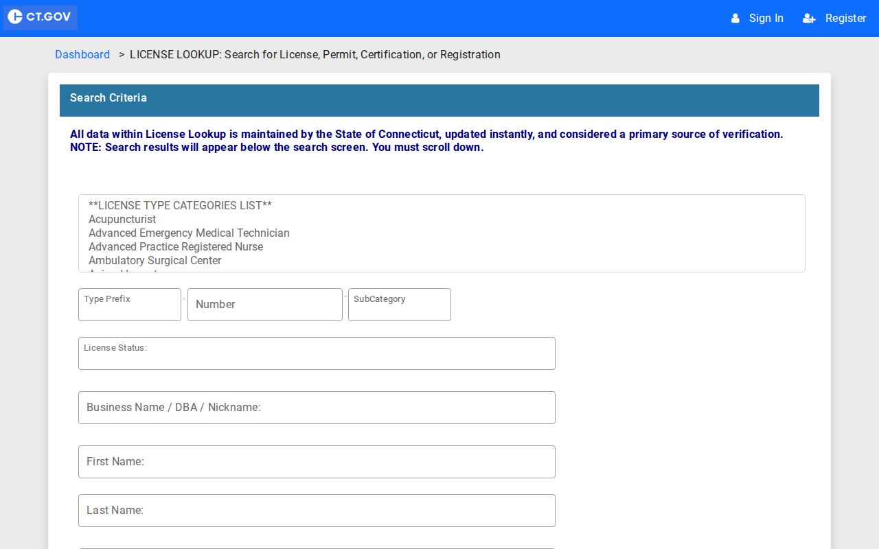
For a Branford postal question, use USPS. For a Branford parcel question, use the assessor and Town Clerk. For a credential question, use eLicense.
Branford ZIP Mailing and Situs Fields
The Branford assessor and GIS records make the key distinction clear. Situs describes where a parcel is located. Mailing address describes where a tax or assessment notice is sent. The GIS schema separates LOCATION, STREET, HOUSE_NO, and MUNI from MAIL_ADDR, MAIL_CITY, MAIL_STATE, and MAIL_ZIP. The sample Vision card likewise shows a location line and a separate mailing line. A postal directory should never collapse those fields into one address.
This matters for Branford condominiums, shoreline places, and records that use an office, complex, or delivery destination. One street line can cover several units. A village label can be familiar to residents but absent from a legal description. A mailing ZIP can remain useful for routing while the Branford parcel’s town field stays Branford. Save the source wording first, then add a normalized row for comparison.
The Branford GIS map is a good place to inspect parcel and layer context, but the town disclaimer controls how its data may be used. The image below represents a geographic aid, not a postal certification.
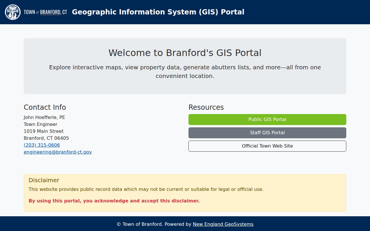
Branford GIS can show where a mapped feature sits relative to Branford places. USPS and the legal record answer different questions.
Branford ZIP Code Boundaries Need Proof
Research did not locate an official USPS boundary map, a Branford ZIP realignment history, a verified Branford ZIP split year, or a parcel-level postal exception. That is a documented gap, not proof that no exception exists. If a Branford source line conflicts with a current assumption, query the exact address, compare the response with GIS MUNI and the parcel situs, and ask the relevant custodian about the source field.
Keep the Branford postal result tied to its date. A historic directory, newspaper, deed, or assessment card may preserve an older place or city line. A current USPS response may reflect present delivery routing. Neither should silently overwrite the other.
- ZIP versus ZIP+4
- A five-digit ZIP routes mail to a broad delivery area. ZIP+4 adds a more precise delivery segment and should not be treated as a municipal boundary.
- PO-box ZIP
- A postal code used for boxes or a station address can identify a delivery route without locating a home or parcel.
- Unique ZIP
- A code assigned to one institution or specialized recipient. No Branford unique ZIP was verified in the reviewed sources.
- Carrier route
- A delivery sequence inside postal operations. It is narrower than a town label but is not a land-record boundary.
Totokett to Today’s Branford ZIPs
Branford’s first settlement is dated to 1644, and the town history records the earlier name Totokett before the later Branford name. That Branford history is useful when an old source uses a place term that does not match a modern ZIP line. The correct response is to preserve the historical wording, search nearby years and place labels, and then connect the result to a present Branford parcel only when the sources support the link.
Short Beach, Stony Creek, Branford Point, Pine Orchard, and the Thimble Islands add another layer of Branford local vocabulary. Directory entries, historic maps, civic sources, USPS lines, and GIS layers may each use a different label. A place name can help find a newspaper page or library collection. It cannot by itself establish a person’s address or a town boundary.
When a historic postal search reaches a dead end, ask Branford’s Blackstone Memorial Library for the relevant directory, street index, newspaper image, or local-history finding aid. For a legal parcel question, move to the Branford Town Clerk. For postal verification, return to USPS.
Keep a Branford ZIP Search Record
A reproducible Branford address row is more useful than a bare ZIP result. Record the original line, normalized municipality, place label, ZIP, parcel key if available, source system, event or publication date, retrieval date, and any update or disclaimer date. This lets a later researcher see whether a mismatch came from postal routing, an old directory, a mailing field, or a parcel edit.
For current Branford work, do not publish unnecessary personal details just because a public form displays them. A method can answer the reader’s question with less exposure: verify the street with USPS, use the Branford parcel ID in Vision, compare MUNI and MAIL_ZIP in GIS, and ask the Town Clerk or Engineering office about a legal description or street-line question.
That record discipline makes the Branford ZIP code directory useful for genealogy, civic research, address cleanup, and reconnecting with a known place. It also keeps a Branford postal code in its proper role, as a routing clue that must be checked against the record type at hand.