
Branford Neighbors by Block
The first question is what the Branford block-level source actually shows. Branford MapXpress is a spatial viewer. Branford Vision is an assessment system. Branford RecordHub is a land-record index and image route. The Registrar and Secretary of the State voter systems operate under election rules. Branford directories are dated historical sources. A Branford civic association page gives community context, not a current member list.
This Branford coverage table keeps those roles visible. An owner label may help identify a parcel, but it does not prove who occupies it. An adjacent polygon shows mapped geography, but it does not establish a legal boundary without a deed or survey.
| Source | What It Shows About a Block | Access |
|---|---|---|
| Branford GIS MapXpress | Adjacent parcels, layers, measurements, imagery, districts | Public web map and REST layer |
| Branford Vision assessor | Parcel ID, MBLU, owner label, situs and mailing fields | Public search; office or FOI fallback |
| Branford Town Clerk land records | Deeds, maps, surveys, liens, parties, Book/Page | RecordHub, pay-to-print route, or office |
| Branford Registrar / SOTS | Permitted registration and district information | Lookup, local office, or restricted file request |
| Branford Blackstone directories | Dated street and household clues | Library, scan, or archive browse |
| Branford local civic sources | Place, district, association, and meeting context | Official town and organization pages |
For a current Branford block question, use the map and parcel key first. For a historical Branford block question, add a dated directory, newspaper, map, or archive citation. The same Branford address can answer different questions in each source.
Map Branford Neighbors From One Parcel
Branford MapXpress did not expose a required radius or buffer query in the captured interface. The practical Branford block method is map browse. Open Parcel Information, locate the subject parcel, zoom until the surrounding parcels are clear, and click each one. Record the MBL or unique ID, then compare the parcel with Vision. If a Branford boundary matters, move to the deed, plan, or survey.
The flow is simple:
- Normalize the Branford street, number, unit, place label, and ZIP, then find the subject parcel.
- Save the subject Branford MBL, unique ID, PID, or MBLU before clicking outward.
- Turn on adjacent parcel information and record one Branford neighboring parcel key per row.
- Compare Branford situs and mailing fields in Vision, keeping the two address types separate.
- Use the Branford Town Clerk or Engineering office for a recorded plan, easement, street line, or survey question.
The Branford GIS application supplies parcel, zoning, open-space, historic, school, voting, wetland, sewer, FEMA, aerial, and measurement layers. The town says its map data can be approximate or not legally official. A map walk is a research aid, not a title search.
The parcel view is shown in the Branford GIS map capture below.
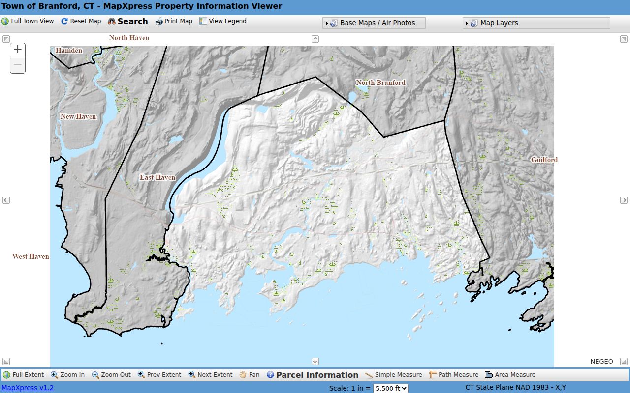
Adjacent Branford polygons make a useful starting grid for parcel research. Each click still needs a stable Branford parcel key and a source date.
Branford Neighbors in GIS Fields
The Branford parcel REST layer contains geometry and source fields that help explain a map result. It separates MBL, owner, location, street, house number, municipality, mailing address, mailing ZIP, zoning, sale, value, year built, coordinates, and edit metadata. Provenance codes identify sources such as a deed, subdivision survey plan, commercial survey plan, digitizing, COGO, or CAD. Other codes flag split parcels, combined parcels, or boundary adjustments.
Those Branford fields are valuable for a block note because they show why two sources may not line up. MUNI is not MAIL_CITY. LOCATION is not MAIL_ADDR. A map owner field is not proof of current residence. A boundary-adjustment code is a lead to the underlying instrument, not a substitute for it.
The Branford parcel REST layer is the source for the schema summarized here. Its data can be compared with the public assessor card, as the image indicates.
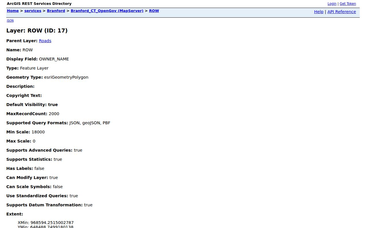
A Branford neighbor row should cite the layer, MBL or unique ID, retrieval date, and map disclaimer before it carries any owner label.
Branford Neighbor Groups and Block Context
Branford’s community and planning sources name several place-based organizations. The Branford Civic Association of Short Beach appears in town quick links. Pine Orchard Association appears in Branford planning and building-review context. Stony Creek Association helped draft guidelines for the Stony Creek Village District. The Branford Historical Society supplies historic-district, house-plaque, archive, and finding-aid context. These references help explain a place without turning association membership into a Branford neighbor record.
No public member directory was located for the named groups in the reviewed sources. A contact page or planning reference can show that an organization serves a place. It cannot prove that a person belongs to it or lives on a particular block.
| Branford Short Beach Civic Association | Local place context and town quick-link reference; no public member directory located. |
|---|---|
| Branford Pine Orchard Association | Planning and building-review context; membership is not treated as residence. |
| Branford Stony Creek Association | Guideline and village-district context through the Architectural Review Board. |
| Branford Historical Society | Historic districts, plaques, maps, photographs, and archive finding aids. |
The Branford community page is the broad local-resource route. It points toward civic and cultural groups while leaving current personal affiliation to the person or organization.
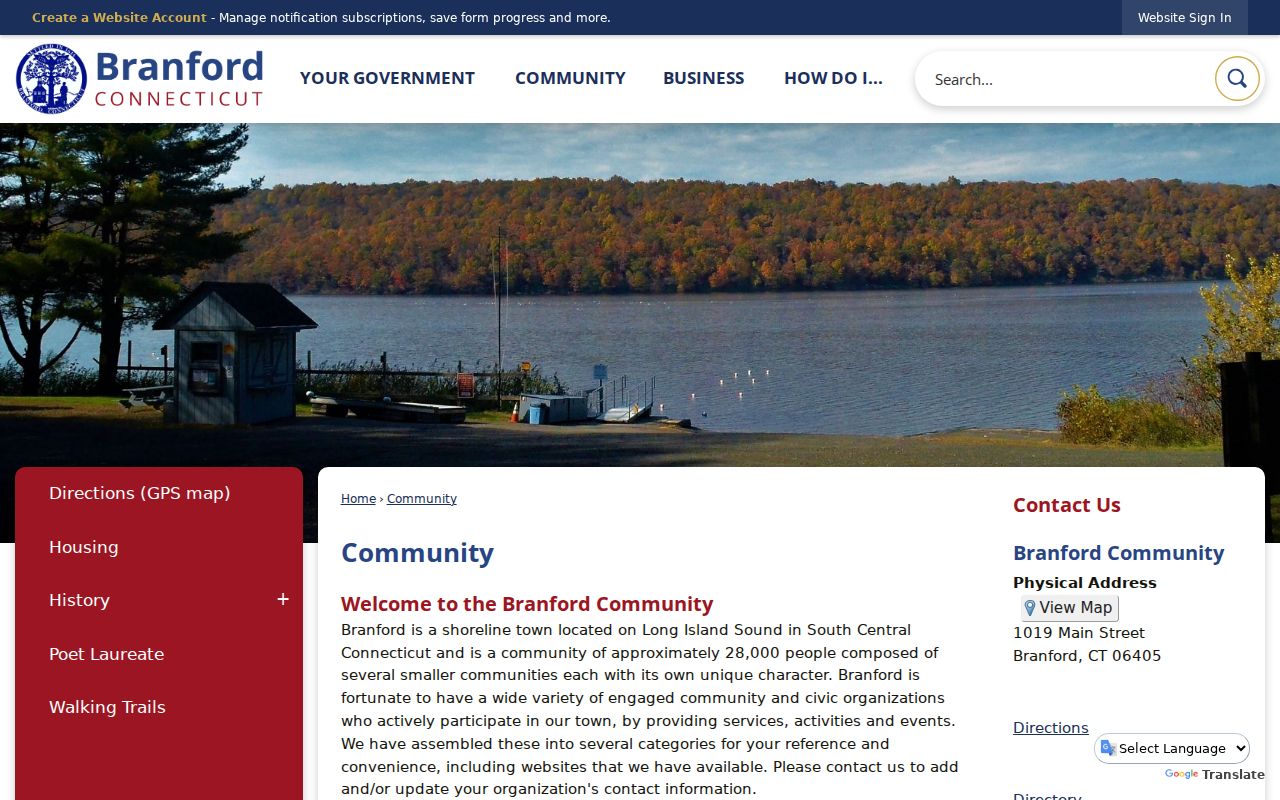
Branford community pages are most useful for finding a public contact or a place-history lead, not for building a household list.
The town’s civic quick-links page is the source for the Short Beach and Pine Orchard references.
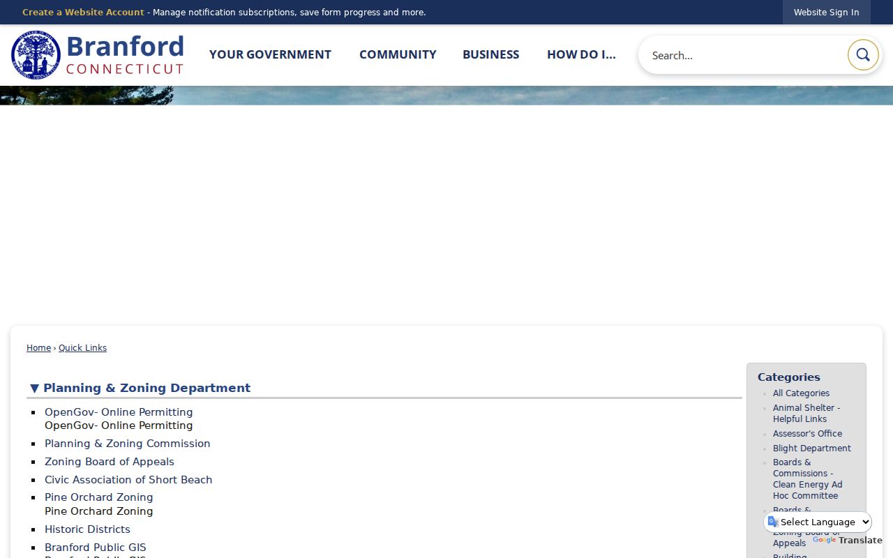
The Branford link page provides local context and public routes, not a published membership directory.
Branford Neighbor Clues at Short Beach
A building permit checklist can name the Town of Branford, Short Beach Civic Association, and Pine Orchard Association in a review or approval context. That is a hyper-specific geography clue. It explains why an address record may mention a local group even though the parcel remains under Branford’s municipal record structure.
Use the Branford clue with the town’s GIS, historic-district material, Planning page, and recorded land documents. Do not read the association reference as a resident roster or as proof that a particular owner is a member. A Branford planning or building record can also carry a project date, permit status, or review comment that belongs to the parcel, not to every person nearby.
The Branford building permit checklist illustrates that local context.
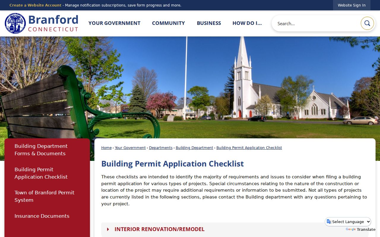
Branford administrative references can explain a block’s local vocabulary while keeping personal membership and residence unclaimed.
Historic Districts Around Branford Neighbors
Historic-district and village-review pages give a second kind of block context. Branford Center, Branford Point, Canoe Brook, Short Beach, and Stony Creek and the Thimble Islands appear in local historic material. The Stony Creek Architectural Review Board page describes a village district created November 20, 2014, with guidelines drafted by Stony Creek Association and meetings held monthly with agendas and minutes.
A Branford district or house plaque can supply a research lead for a photograph, survey, or older address. It does not establish current ownership, occupancy, or a legal lot line. Compare the historic label with Branford Vision, GIS, and the Town Clerk when a property question matters.
The town’s historic-district page keeps the place names and their local meaning in view.
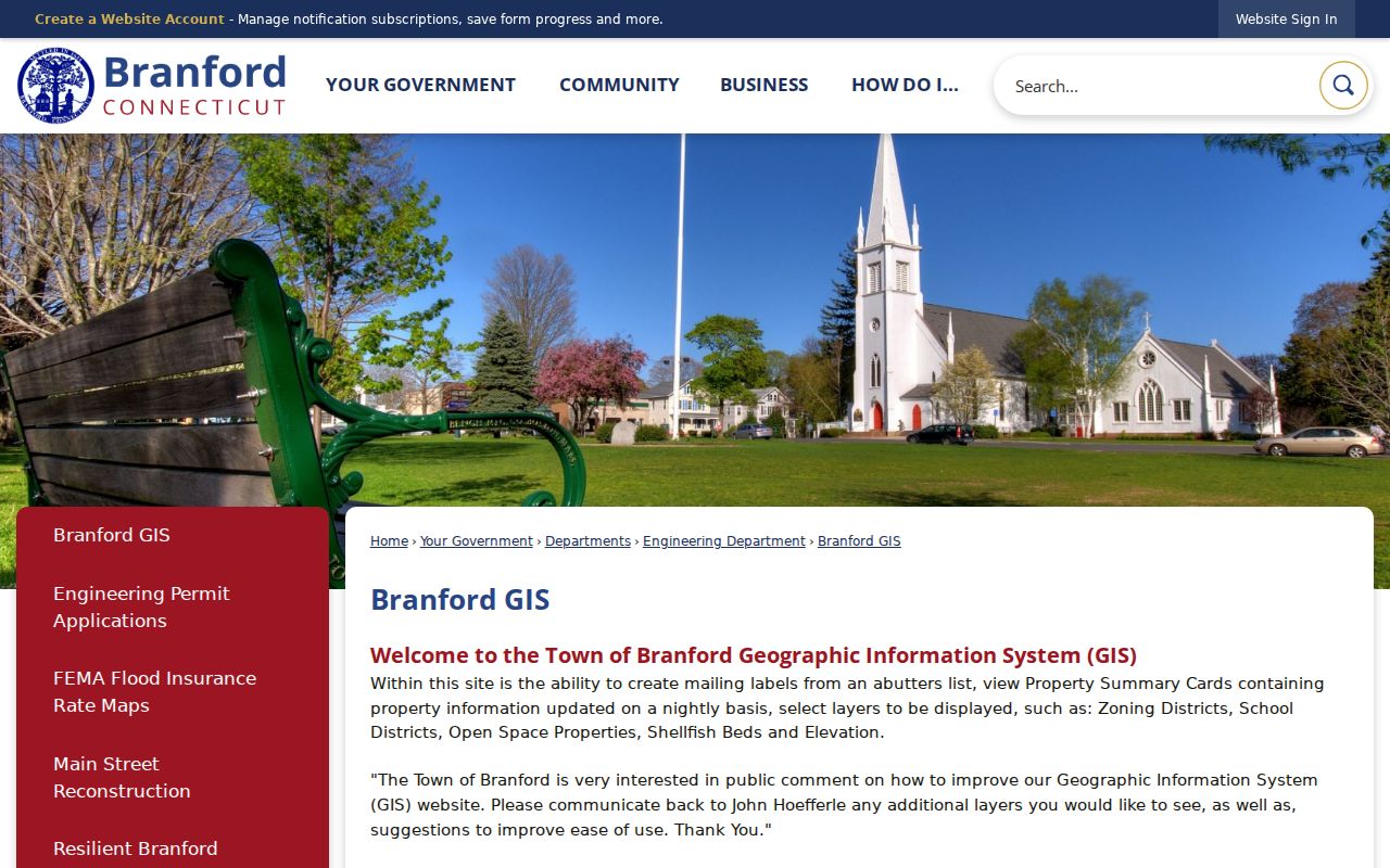
Branford layer names and district dates should be preserved with the retrieval date because map versions can change.
Branford Neighbors and Voter Limits
The Branford Registrar maintains election administration at 40 Kirkham Street and the statewide CVR supplies the official voter framework. The 2022 annual canvass reported 20,940 eligible voters as of May 3, 2022. That is a dated administrative count, not a count of households or a current household list.
The Branford public voter lookup is town, last name, first name, and date of birth oriented. The full file request form carries a $300 payment and limits use to election-related, scholarly, journalistic, political, or governmental purposes. It prohibits personal or commercial use, harassment, advertising, and reproduction or display. Safe at Home and the voter privacy program can substitute or hide a protected address.
For a Branford block question, use public district maps, street lists, or aggregate election reports when they answer the need. Do not assemble names from multiple systems into a current neighbor roster. A no-result may reflect privacy or coverage, not absence.
Branford Neighbor Parcel Tools
Official Branford systems and commercial neighbor-lookup tools answer different kinds of questions. The Branford town map, assessor, land records, library, and civic pages identify a custodian, record role, or dated context. Commercial tools may combine old public extracts, licensed data, directory material, and user-supplied details. Their reports can merge names, keep stale addresses, or hide the date and source behind a fee.
| Source category | Strength | Limit |
|---|---|---|
| Branford GIS and Vision | Parcel keys, map context, owner and mailing fields | Not a household or occupancy register |
| Branford Town Clerk records | Recorded instruments, surveys, parties, Book/Page | Party to an instrument is not automatically a neighbor |
| Branford library and archives | Dated addresses, newspapers, maps, local history | Historical, uneven, and often page-based |
| Branford commercial lookup category | May offer a broad convenience search | Freshness, source, cost, and correction path may be unclear |
For a Branford correction or certification, return to the named custodian. An official source with a date and stable key is more useful than a broad report with no clear record role.
Privacy Limits on Branford Neighbor Lookup
A Branford neighbor lookup should stop at the line between place research and personal surveillance. Public parcel data can support a map question. It does not open utility accounts, delivery records, household-member lists, private phone numbers, protected voter addresses, or sealed court material. The Connecticut Data Privacy Act, Safe at Home, voter rules, court limits, and state stalking statutes all make purpose and minimization important.
Lawful use. Use Branford neighbor records for a known address, family history, civic geography, or ordinary personal safety awareness. Do not use them to track, intimidate, harass, or expose a living person.
When a Branford agency cannot show a field, record the boundary and name the next lawful custodian. The safest public answer may be the method, source date, parcel key, and correction path rather than a current person’s name.